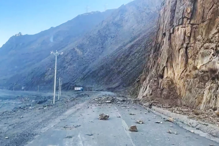
China launched a rapid response to the 6.8-magnitude earthquake that struck Dingri County in Xizang Autonomous Region on Tuesday, deploying eight satellites to capture high-resolution images of the disaster-hit areas, according to China’s State Council.
The earthquake left 126 people dead and 188 injured as of Tuesday evening, adding urgency to the ongoing rescue and recovery efforts.
Among the deployed satellites were the Gaofen series and a land ecosystem carbon monitoring satellite, tasked with providing critical data for post-quake assessment.
As of Tuesday afternoon, the satellites had completed eight imaging missions, with plans for further observations to deliver more precise situational updates.
In addition, China’s Ministry of Natural Resources mobilized at least three satellites through its Land Satellite Remote Sensing Application Center. These coordinated efforts are intended to enhance relief operations and assess structural damage in the region


