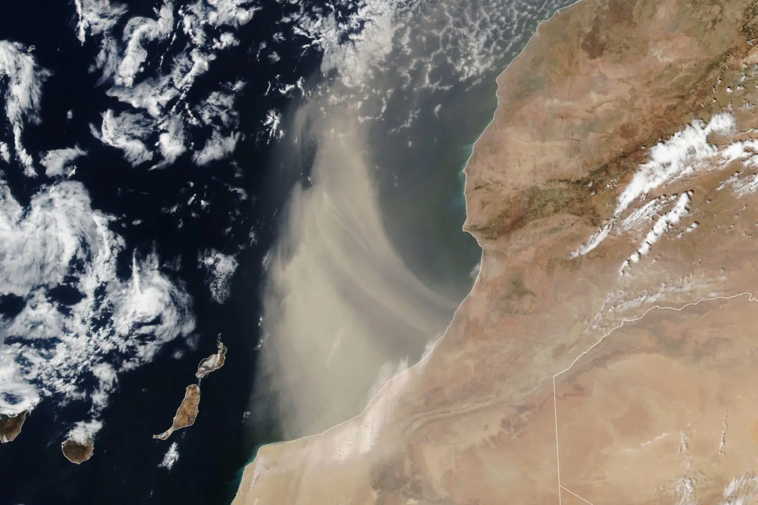
A dense cloud of Saharan dust streamed over southern Morocco on August 24, 2024, captured by the VIIRS on the Suomi NPP satellite, Earth Observatory NASA said.
This dust encounter is part of a larger pattern where Saharan dust particles travel thousands of miles across the Atlantic, especially from late spring to early fall.
These airborne particles originate from the Sahara Desert which is the world’s largest source of dust. During the summer months, the Saharan Air Layer often carries dust westward across the Atlantic Ocean at high altitudes. The dry, stable air within dust-laden layers can inhibit tropical cyclone formation in the North Atlantic.
In contrast, winter and spring winds can push the dust toward the United Kingdom and Western Europe at lower altitudes.
NOAA reports that Saharan Air Layer activity typically decreases after mid-August, reducing the likelihood of transoceanic journeys for dust plumes.
Instead, the dust shown in this event is expected to arc northward over the ocean. Earlier in the summer, Saharan dust clouds reached as far as the United States, creating hazy conditions in Texas.
Scientists are closely studying Saharan dust events due to their influence on large storm systems.
A recent study using NASA’s IMERG precipitation data and machine learning models found that dust particles play a crucial role in rainfall patterns.
The study revealed that lower concentrations of dust promote rain-producing clouds, while higher concentrations suppress precipitation by blocking sunlight.
These findings highlight the complex and significant impact of Saharan dust on global weather systems.


