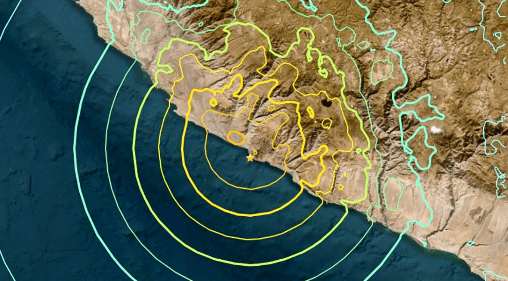
A severe 7.2 magnitude earthquake off the coast of southern Peru struck eight kilometers west of Atiquipa, around 600 kilometers south of the capital Lima, late Friday, according to the United States Geological Survey (USGC). Prime Minister Gustavo Adrianzen later confirmed that no deaths had occurred.
With the epicenter at a depth of about 28 kilometers, Atiquipa locals said on social media that they felt a powerful and protracted earthquake that made their beds shake.
CCTV footage from the adjacent town of Caraveli showed a residential street shaking violently as residents left their homes.
The tremor was also felt in the capital. A video released on social media showed light fixtures swinging inside residences in Lima.
The office of the Peruvian President said on X that the administration is monitoring the situation and will assess any damage.
The Pacific Tsunami Warning Center (PTWC) immediately after the earthquake issued an alert warning of “possible” tsunami waves of 1 to 3 meters along various Peruvian coastal districts. However, it then canceled the notice.
“There is no longer a tsunami threat from the earthquake,” according to the PTWC.
Peru and most of the South American Pacific Coast are located on the boundary of two tectonic plates: the South American plate, which spans most of the continent, and the Nazca plate, which reaches across the Pacific along much of the coast.


